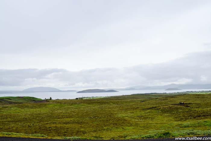
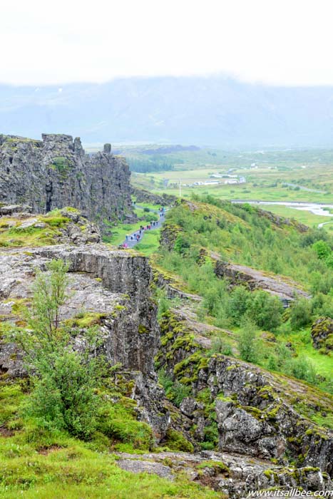
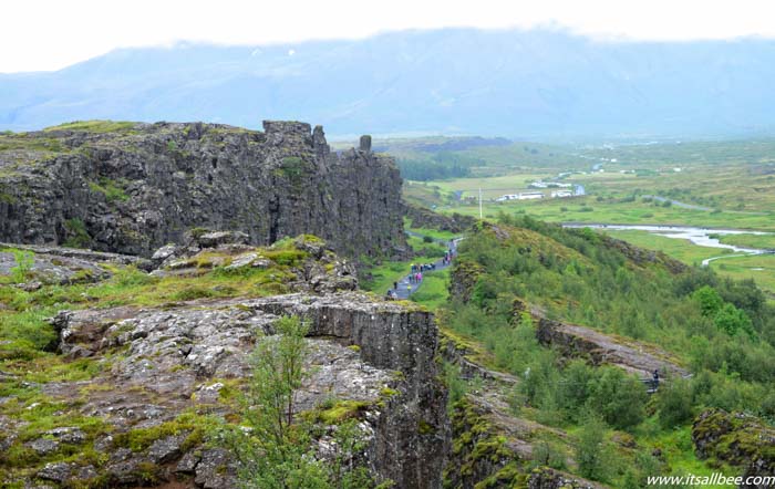
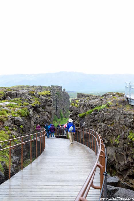
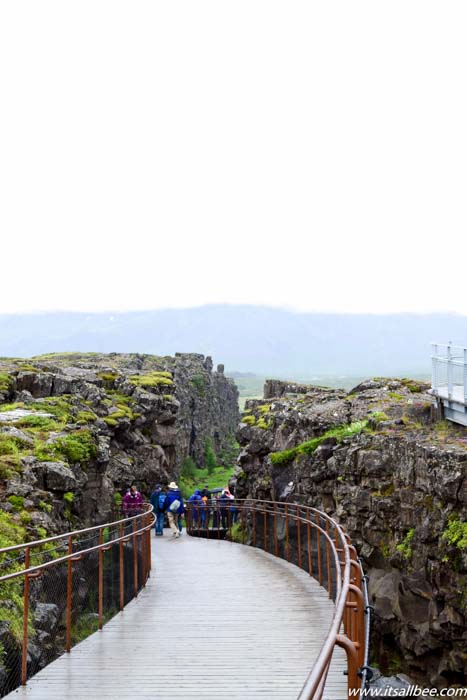
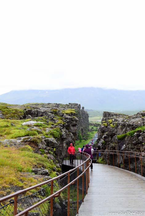
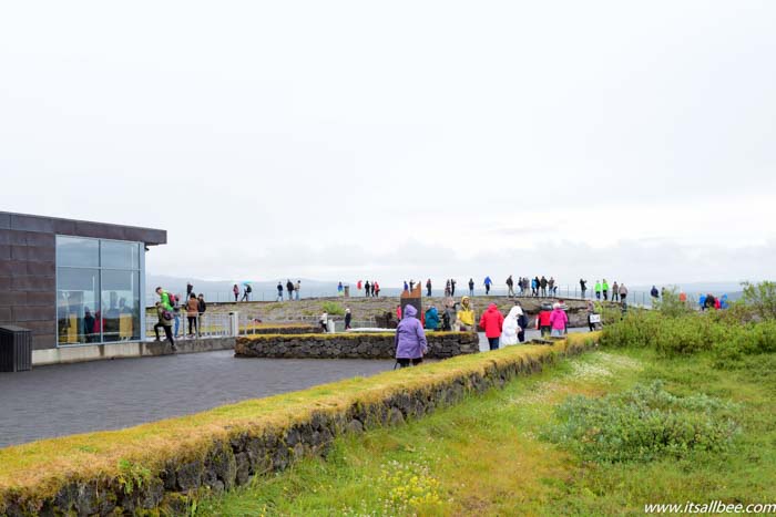
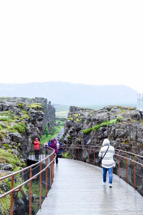
Þingvellir is now a national park in the municipality of Bláskógabyggð in southwestern Iceland, about 40 km northeast of Iceland’s capital, Reykjavík. Þingvellir is a site of historical, cultural, and geological significance, and is one of the most popular tourist destinations in Iceland. Why, I couldn’t possibly tell you as the place was DRY!!! Boring in my option. For a normal hike, great but even then, I like my hikes to be scenic, beautiful and this was neither one of those things.
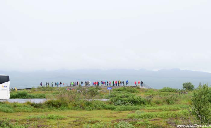
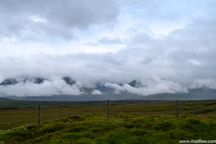
The park lies in a rift valley that marks the crest of the Mid-Atlantic Ridge and the boundary between the North American and Eurasian tectonic plates. While knowing that makes the place seem interesting but the site itself isn’t much to look at. Unless maybe you choose to dive between the two tectonic plates otherwise there really isn’t much to see. Made worse by the fact that the weather wasn’t great, even as we were visiting Iceland in the summer.
The only saving grace maybe were the views of the lake as we were leaving. To its south lies Þingvallavatn, the largest natural lake in Iceland. The national park has now been designated as a World Heritage Site in 2004. Iceland is filled with amazing waterfalls, unique Icelandic hotels to stay in and that awe-inspiring Blue Lagoon among many cool things to do in Iceland, this site for my if you skip it you are not missing much at all, again, unless you are going for a dive.
Getting To Thingvellir
We rented a car from Reykjavik which I discussed in my post with tips on how to rent a camper van and rental car. The drive from Reyjkavik was under an hour and fairly straight forward with satnav.

Heading To Iceland? Also Read:
- The Best Luggage For A Trip To Europe
- Sleeping Under Waterfalls
- What To Pack For Iceland
- Essential Items For A Trip To Europe
- Stunning Black Sand Beaches Not To Miss In Iceland

Leave a Reply